Neatline
In order to create an interactive map that would enable the user to learn about the 60 or so German clergy for whom I had biographical information, I chose to use Neatline. Neatline allows for a custom, georeferenced map to be imported, and it provides significant flexibility for text formatting using HTML, making it ideal for presenting detailed biographical information in a readable interactive format (although Carto contains a plethora of features for mapping, it is not ideal for presenting textual information in large quantities).
The first step in creating a Neatline exhibit was choosing the appropriate map to georeference and add to the exhibit. Ideally, I wanted a map without country borders because the borders of countries were constantly in flux during World War II, and therefore, any map with static borders is inaccurate for this time period. Fortunately, Harvard's WorldMap database contained a map ideal for this purpose: the map shows the locations of concentration camps throughout Europe during World War II. The map can be found at the following WorldMap link:
http://warp.worldmap.harvard.edu/maps/4125#Show_tab
In addition, the map had already been georeferenced, meaning that I could immediately import it into Neatline using the steps in Jeremy's tutorial.
Now that I had the base map, the next step was to group the biographies based on diocese and format them into a readable HTML format to be added to Neatline in the form of one record per diocese. I accomplished this in Python. In particular, I wrote a script that appended all of the relevant information (e.g., reason for arrest) to the biographies CSV file that I had already created. This Python script can be seen below:
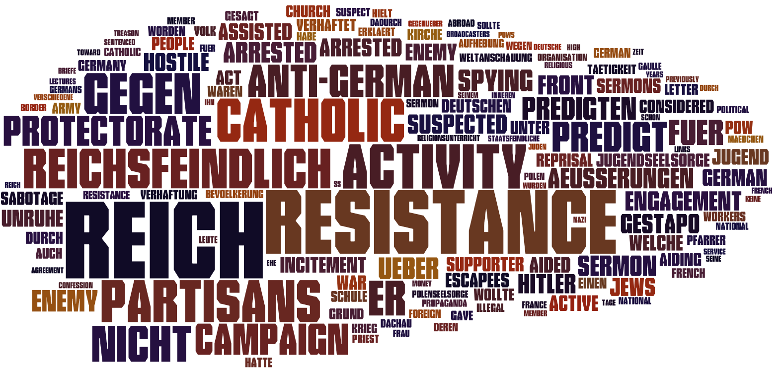
I then wrote another Python script that, given the name of a diocese, found all of the relevant clergy members, formatted the biographies into an appropriate HTML form, and wrote the output to a text file. Note that a handful of biographies were too incomplete for inclusion and were removed as I produced the text files; for this reason, there are 57 clergy members included at this stage. This Python script can be seen below:
Running this script left me with a series of text files, as seen below:

All that was left was to add a new record for each diocese and draw a point over each of the corresponding cities. I then copied the text from the appropriate text file in my directory into the "Body" field under the Text tab and adjusted the zoom and focus settings for each record. After doing so, I arrived at the following interactive Neatline Exhibit:
For a more detailed description of how to use this Neatline exhibit, please refer to the page Interactive Biographies Using Neatline under the Presentation of Results section.